



Guiding the hills: Van Gujjar territory without fences
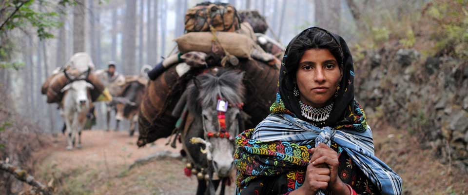
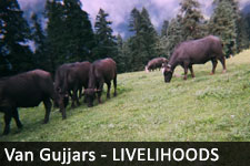
Van Gujjar herders in Uttarakhand, Himachal Pradesh and Uttar Pradesh move with buffalo through forests, high meadows and river valleys. Territory is created through seasonal use: following old routes, returning to known camps, drawing water at springs and meeting neighbouring families at crossing places. It is a relationship among people, animals and landscape, not a fixed line on a cadastral map.
Territory can include exclusive camp areas, shared grazing grounds, refuge during fire or snow, and access negotiated with other herding communities. Markers make these arrangements visible, while oral custom and collective memory explain each signal. This knowledge matters as roads, tourism, forestry and private land claims narrow migration corridors.
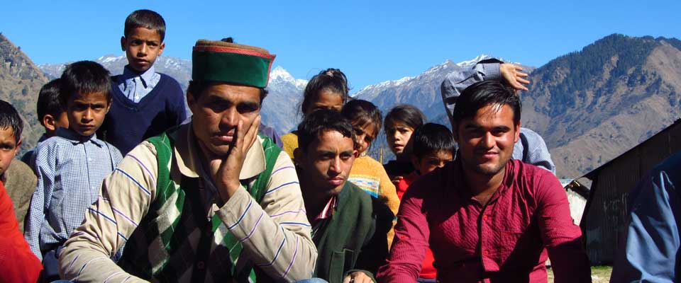
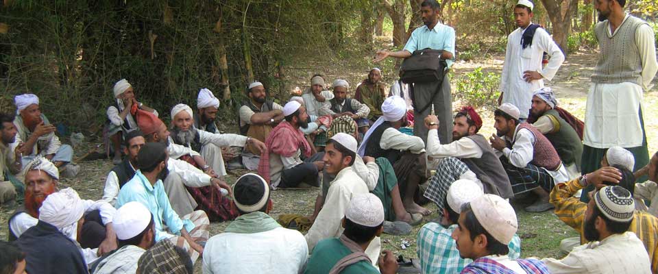
SOPHIA supports Van Gujjar and Himalayan village communities in asserting forest and domicile rights, sustaining buffalo husbandry and strengthening participation in land decisions. Traditional boundary practices can offer evidence of customary use, but they require community consent and legal recognition. Comparison with Indigenous governance in Australia must respect distinct histories and responsibilities.
Seasonal routes make territory visible
The buffalo trail is often the first territorial signal. Repeated journeys between low-lying winter grounds and high summer pastures wear paths through grass and scrub, linking shelters to water and exposing routes families rely on. Dung, hoof marks, trampled vegetation and seasonal camp remains record occupation without claiming that the whole forest belongs to one household.
Movement also creates obligations. A family may protect a camp and fodder area, welcome reciprocal users after a difficult winter or limit access to a sensitive spring. Elders and experienced herders interpret these customs, while milk routes and trading relationships reinforce the network. Territory is renewed through seasonal use, negotiation and care.
Landscape traces and negotiated access
No single marker settles a boundary. A stone pile may mark a junction or hazard, a tree scar may record a route, and cloth at a crossing may guide travellers toward a market or resting place. Meaning depends on local testimony, continuity and the marker’s connection to grazing, passage and safety.
Community maps, livestock registers, photographs and testimony can help authorities understand long-standing access when considering forest divisions, infrastructure or tourism leases. These records should document collective rights and shared use rather than turn flexible pastoral arrangements into rigid private parcels.
Signals communities recognise
Communities do not use an identical marker system everywhere. Examples vary by valley, but landscape and social signals often work together:
Landscape and livestock signals
- Buffalo trails and worn paths linking camps, water and shelters.
- Dung, hoof marks and disturbed vegetation showing sustained use.
- Stone shelters, cairns and route markers maintained by families.
- Folded branches or cloth signalling agreed stopping points.
Social and documentary signals
- Named camps, pastures, springs and seasonal crossing places.
- Reciprocal access agreements negotiated between neighbouring herders.
- Brands, ear marks or herd records that track movement.
- Oral instructions renewed through elders, witnesses and family practice.
Together, these signals answer practical questions: Where may buffalo rest? Who can use a pasture? Which route is open? When must a marker be renewed after rain, fire or roadworks? Their authority rests with the community that maintains and interprets them.
Knowledge carried through generations
Women often hold detailed knowledge of milk routes, household camps, water sources and safe travel times, while herders understand fodder, weather and livestock movement. Elders connect present observations to older arrangements. Youth carry the information through phones and changing travel patterns, keeping place-based knowledge useful as routes evolve.
This memory guides everyday decisions about grazing, responding to landslides or forest fires, and moving milk to market. Community-led documentation can record names and narratives with permission while keeping sacred or vulnerable locations out of unnecessary public circulation.
What Australia can learn without copying
Australian readers will recognise stock routes, paddock gates, brands, ear tags and boundary fences on stations. Indigenous governance in Australia has a distinct history, including songlines, water-hole knowledge, fire practices and native-title processes. Recognising that difference prevents Van Gujjar customs from being treated as a simplified version of Aboriginal land management.
The Australian context brings its own pressures. Expansion around Sydney and Melbourne reaches into farming and woodland areas; highway development fragments routes in regional New South Wales and Queensland; drought affects buffalo fodder as it affects cattle. Melbourne and Sydney farmers’ markets, specialist cheese counters and Brisbane’s growing food scene may create commercial opportunities for community-produced buffalo milk, subject to hygiene, processing and reliable supply.
Supporting community-led stewardship
Markers become vulnerable when outsiders read them as informal property claims. Safeguards include free, prior and informed consent for mapping, recognition of collective and seasonal use, and independent mediation when officials or private interests contest access. Women, herders and other knowledge holders should participate directly.
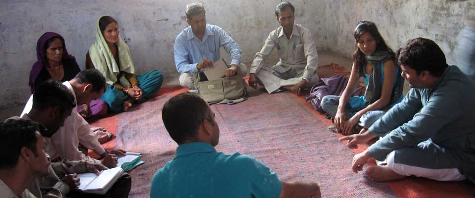
Community learning often works best when people can test ideas rather than simply hear them. A serious games guide illustrates how guided play can make rules memorable; the same communication principle can help workshops rehearse seasonal access and negotiation. This fits SOPHIA’s wider use of social mobilisation, advocacy, government engagement and NGO partnerships.
Australian readers can help by learning about SOPHIA’s projects, exploring its media and photo archive, and contacting the organisation about volunteering or partnerships. Skills in documentation, translation, not-for-profit support, food safety and market development can be offered through the channels listed on its website. Support should follow community priorities: retailers asking how milk marketing can retain value for buffalo herders, respecting seasonal production limits, and avoiding unauthorised cultural or environmental claims.
Read about SOPHIA’s work, share this article with Australian networks and contact SOPHIA to discuss a practical contribution. Open routes and collective decisions depend on recognition, funding and accountable partnerships.