



Mapping seasonal worlds with herding communities
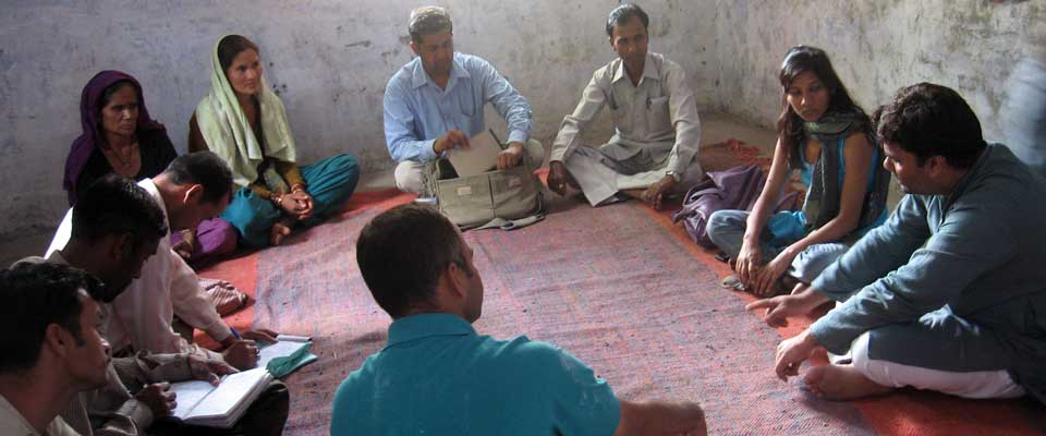
Participatory mapping enables herding households to record seasonal routes, grazing resources, water points, resting places and hazards on their own terms. Rather than presenting a finished map, the facilitator helps people draw what matters, explain how places are connected and decide what the record should be used for.
For Australian partners, the method must be adapted to Aboriginal and Torres Strait Islander peoples, established pastoral communities and regional variations. “Nomadic herders” may be useful when it is the community’s chosen description; mobile pastoralists, herd keepers, Traditional Owners and Knowledge Holders may be more accurate locally.
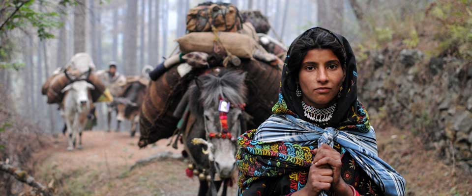
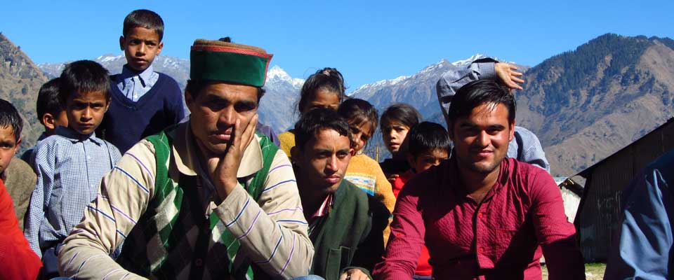
Experience from SOPHIA, an Indian-registered non-governmental organisation, shows why this work extends beyond cartography. Supporting Van Gujjar and Himalayan village communities in Uttarakhand, Himachal Pradesh and Uttar Pradesh involves forest and domicile rights, buffalo husbandry, milk marketing, social mobilisation and government engagement.
A sound exercise combines local knowledge with transparent facilitation, careful consent and a clear route from community priorities to practical decisions. Its output might guide advocacy, service planning or land-access negotiations, but a map cannot create legal title or substitute for community representation.
Set purpose with the community
Begin with a purpose agreed in plain language: understand migration patterns, identify service gaps, document customary access or plan safer journeys. Invite participants to mark seasonal camps, roads, forest resources, water, veterinary services, markets and areas under pressure. Keep questions open, and distinguish what people know now from information recalled from earlier seasons.
In Australia, explain early that the Native Title Act 1993, relevant state native-title legislation and any Indigenous Land Use Agreements create legal contexts that a workshop map does not determine. Obtain local legal advice where tenure, culturally sensitive places or proposed development is involved, and record whether participants want boundary lines, approximate zones or no boundaries at all.
Build trust before collecting locations
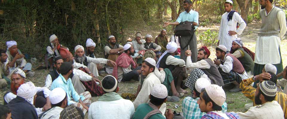
Trust is built through who controls the process. Use respected facilitators, interpreters and local decision-makers, and pay people for their time and expertise. In Melbourne and Sydney, libraries, council service centres and community rooms can provide accessible venues; elsewhere, choose locations linked to existing gathering places and avoid forcing long travel after work.
The account of shelter and land rights illustrates why shelter is both a practical route marker and a rights issue. Ask separate groups where people can safely rest during migration, but do not publish sensitive locations without explicit permission. Include women, young people, minority herding groups and people with disability through small discussions and safe ways to dissent.
Record mobility, resources and risk
Use several representations so that no participant depends on literacy or one technical skill. Large paper, coloured pens and place-name cards can capture routes; a facilitated seasonal timeline can show when resources are used; GPS or participatory GIS can add coordinates where participants want them. Record oral explanations, not only symbols, because a line may represent a journey, obligation or seasonal boundary.
Build in operational realities. Across northern Australia, long runs between stations, roadhouses and towns, heavy wet-season conditions, extreme heat and bushfire risk can interrupt a planned route, while reception may be unreliable. Map fuel, water, mobile coverage, flood-prone crossings and contingency shelter, and test offline tools before leaving town.
Validate names, boundaries and access
Return drafts to the same participants for validation. Let community members correct spelling, add Indigenous and local-language names, clarify seasonal differences and decide which layers are public, restricted or deleted. Maintain a version log showing what changed and why, and explain how maps, photographs, recordings and personal stories will be stored, shared and protected.
Link economic routes to actual markets: cattle may move through stations, roadhouses, saleyards and processors, while produce can pass through farm-gate sales, farmers’ markets and independent grocers in Melbourne, Sydney and regional towns. Consultation on cultural heritage or environmental impact may also require attention to the Environment Protection and Biodiversity Conservation Act 1999 and relevant state laws.
Assemble a practical field kit
Choose low-technology and digital tools according to access, safety and purpose, rather than treating mapping software as the goal. Test materials with a local pilot group and translate every prompt into the language participants use for routes and resources.
After each session, hold a facilitator debrief, reconcile notes with the group’s agreed corrections, and back up approved files in secure locations. A named person should maintain consent records while another manages data and evidence.
Before the workshop
- Printed base maps at several scales, with no pre-drawn cultural boundaries
- Markers, sticky notes, string, acetate overlays and large-format sheets
- Seasonal prompts, symbols and place-name lists prepared with local language advisers
- Consent forms, camera notices, offline maps, spare batteries and first-aid supplies
During the mapping session
- One facilitator and one note-taker, with interpreters or Knowledge Holders as required
- GPS devices or offline apps used only after informed agreement on data collection
- A visible seasonal calendar linking journeys with water, pasture, schooling and markets
- Space for private check-ins and a clear process for resolving disagreements
Turn community maps into action
Use the validated output for decisions people have chosen: a service route to a council, evidence in a rights campaign, a safer buffalo movement plan, a milk collection point or an advocacy brief. Assign responsibility for each action, retain community ownership of source data and return progress to participants so the exercise becomes an ongoing accountability process rather than a one-off product.
SOPHIA’s experience shows how maps can connect community priorities with advocacy, government engagement and partnerships supporting sustainable pastoral livelihoods. Partner with SOPHIA by supporting community-led mapping, contributing practical resources, or connecting its teams with Australian pastoral, Indigenous and research networks.