



Mapping Traditional Grazing Routes With Digital Tools
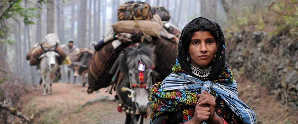
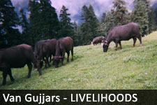
The use of GPS and mobile apps for mapping traditional grazing routes is helping pastoral communities record knowledge that has often been passed down orally. For Van Gujjar families in the Himalayan forests, these routes connect seasonal pasture, water sources, settlements and customary rights.
A digital map can make this knowledge easier to present during discussions with forest officials, local authorities and development organisations. It can also show how restrictions, road construction, tourism or environmental change affect buffalo herding and access to pasture.
The idea has relevance in Australia, where smartphones are part of everyday life in cities such as Sydney, Melbourne and Brisbane, while remote cattle and Indigenous communities may work far beyond reliable mobile coverage. The technology is useful, but the value of a map depends on who controls the information and how it is used.
Why route maps matter
Traditional grazing paths are living systems rather than simple lines on a screen. They may include seasonal grasslands, forest corridors, springs, salt licks, resting places and crossings that are known to experienced herders but missing from official records.
Recording these locations can support claims related to forest access, domicile, pastoral livelihoods and community services. A map can also reveal the distance between grazing areas and milk collection points, helping organisations understand where transport, veterinary support or market access is needed.
Capturing knowledge in the field
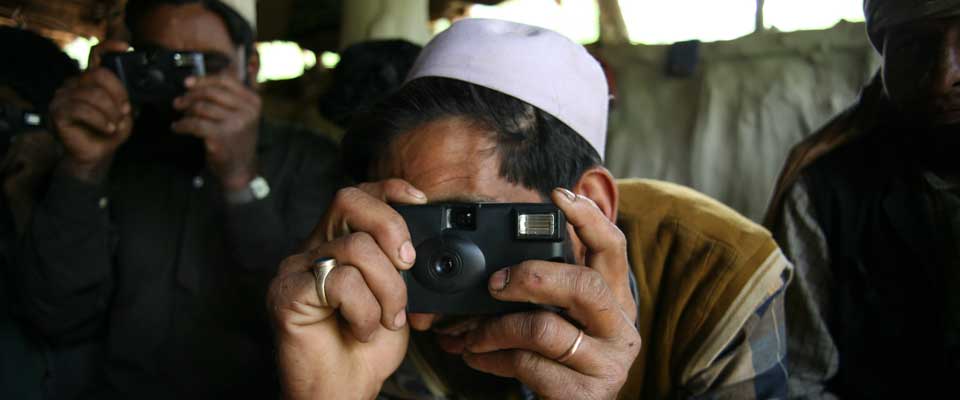
A GPS-enabled phone can record a route as a track while a herder travels. Users can add waypoints for water, fodder, camps and hazards, then attach photographs, voice notes or descriptions in local languages. Offline mapping is essential in mountain valleys where mobile data may be unavailable.
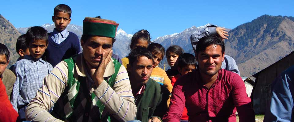
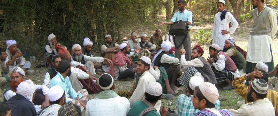
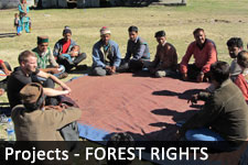
Good fieldwork combines technology with conversation. Older herders, women involved in buffalo care and young people familiar with smartphones may contribute different details. Walking the route together helps verify seasonal changes and prevents a digital map from presenting one person’s experience as the whole community’s knowledge.
Choosing practical mobile apps
Useful mapping applications should work without continuous internet access, consume little battery and allow data to be exported in common formats. Open-source tools can reduce licence costs and make it easier for local organisations to maintain their own records.
Before field visits, teams should download satellite basemaps, carry power banks and agree on a simple naming system. A paper notebook remains valuable when a phone fails, and coordinates should be checked against landmarks such as streams, ridges and village paths rather than accepted automatically.
Protecting community information
A grazing map may contain sensitive information about camps, water points, cultural places or routes used by families with insecure rights. Publishing exact coordinates online could expose communities to land pressure, unauthorised extraction or enforcement action. Public versions should therefore use generalised locations where necessary.
Consent needs to cover collection, storage and sharing, not simply the act of taking a GPS reading. This principle has parallels with Australian practice under the Privacy Act 1988 and with Indigenous data governance discussions. Native Title Act 1993 processes also demonstrate why cultural knowledge and land information require careful control by the people who hold them.
Lessons for Australian communities
Australian pastoralists and Indigenous ranger groups already use digital mapping for fire planning, biodiversity surveys, weed control and remote asset management. Local realities differ widely: a route near Alice Springs may cross vast distances and patchy coverage, while a community outside Perth may face pressure from expanding roads or recreation.
The market context matters as well. In Australia, groceries, fuel and agricultural inputs are commonly purchased through large retailers, while small producers may depend on farmers’ markets, local dairies or direct sales. Mapping milk routes, seasonal access and cold-chain distances can help communities evaluate whether a cooperative marketing model is practical.
Turning maps into collective action
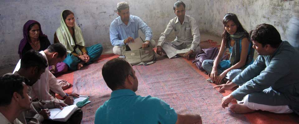
A route map becomes more powerful when it is linked to advocacy, planning and services. Community groups can use it to compare customary movement with forest boundaries, identify blocked access and prepare evidence for meetings with government departments. It can also guide training in buffalo husbandry, animal health and sustainable pasture management.
For an example of community-focused updates, readers can explore SOPHIA’s news and project updates, where rights-based work and local partnerships are documented. Maps should support these efforts rather than replace face-to-face organising, legal advice or community decision-making.
SOPHIA and its partners can strengthen this approach by training local mappers, creating clear data agreements and keeping copies under community control. Australians interested in Indigenous rights, ethical technology and sustainable pastoral livelihoods can follow the work, share trusted resources and support partnerships that respect local authority.