



Mapping Traditional Water Sources for Herders
For pastoral families, a spring, stream, pond or shaded seep can determine where animals graze, when households move and whether a seasonal route remains viable. Documenting these places creates a practical record of ecological knowledge that may otherwise be lost through road building, forest restrictions, drought or changing land use.
To document and map traditional water sources used by herders, begin with the people who rely on them. Their knowledge includes much more than a location: it covers water quality, seasonal flow, access rules, animal safety, customary use and the signs that indicate whether a source will last through a dry period.
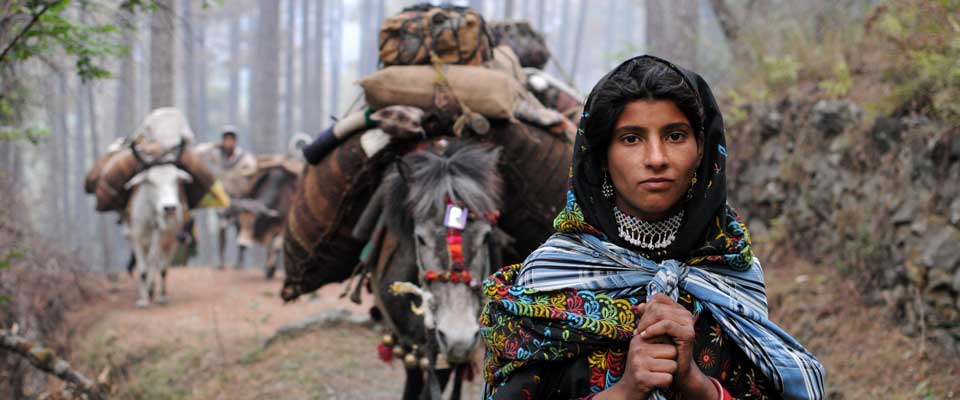
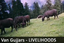
This approach is relevant across very different landscapes. A Van Gujjar buffalo herder in the Himalayan foothills may follow a forest spring, while an Australian stockholder may depend on a bore, a soaks or a creek that only runs after heavy rain. In both settings, a useful map combines local experience with careful field observation.
Why Water Mapping Matters
A community water map can support pastoral mobility, animal health and negotiations with forest or land authorities. It can show which sources are permanent, which are reliable only during the monsoon or wet season, and which have become polluted, fenced off or difficult to reach.
The record can also reveal patterns that are missed by official maps. A topographic database may show a named river but omit a shallow seep used by buffalo, or fail to show a traditional stopping place beside a seasonal channel. In Australia, similar gaps can affect remote grazing properties where informal water points are known locally but absent from public datasets.
Start With Community Authority
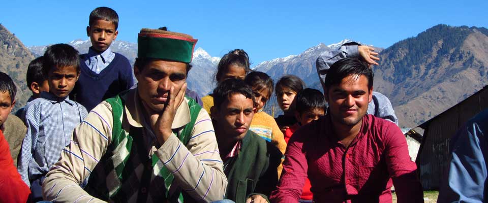
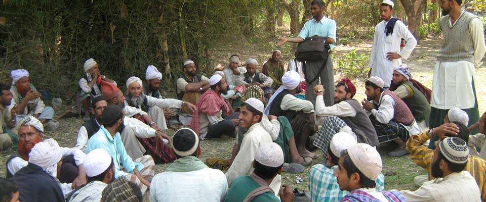
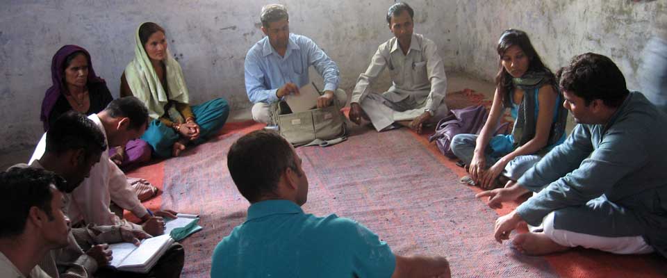
Mapping should be led by the people whose lives and livelihoods are being recorded. Hold small discussions with herders, elders, women, young people and livestock keepers, because each group may know different routes and water conditions. Ask permission before recording names, photographs, coordinates or stories.
Traditional knowledge is not automatically public information. Some springs may have cultural significance, while others may be vulnerable to overuse if their locations are widely shared. A community agreement should define who can access the map, how it may be used and whether sensitive information is kept offline or generalised.
Build A Field Record
Create a simple source register before visiting the landscape. Useful fields include the local name, GPS position, date, water type, estimated flow, depth, accessibility, livestock use, nearby hazards and the months when water is available. Record whether the source is used for drinking, washing, milking or watering animals.
Field notes should describe observable conditions rather than relying only on assumptions. Photograph the approach, bank condition and surrounding vegetation when consent is given. A herder’s estimate of “enough water for three days” can be more useful than an unsupported label such as “large source”, especially when planning movement during dry weather.
Read Landscape And Season
A water point must be understood within its catchment and seasonal cycle. Map the route to the source, steep sections, crossings, shade, grazing nearby and places where animals may become trapped. Note whether a spring is fed by snowmelt, rainfall, groundwater or a constructed channel.
Repeat visits are essential. In Uttarakhand, a source may be full during the monsoon and weak in late spring. In Australia, a creek near Alice Springs, a billabong in the Murray–Darling Basin or a farm dam outside Tamworth can change dramatically between a wet season and prolonged drought. Seasonal observations make the map useful for real decisions rather than a single day’s snapshot.
Use Accessible Mapping Tools
A smartphone with an offline mapping application can record coordinates where mobile coverage is poor. Carry a paper map, compass and power bank as backups. Mark points using a consistent coordinate system, and check the device accuracy before saving each location.
Free geographic information system tools can layer water points with tracks, vegetation, roads, administrative boundaries and satellite imagery. Keep the original data securely, use clear file names and record who collected each observation. Australian groups familiar with Landcare or property planning may already have mapping routines that can be adapted to pastoral communities without imposing expensive technology.
Protect Sensitive Knowledge
Data protection is part of ethical fieldwork. Avoid publishing exact coordinates for fragile springs, culturally restricted places or sources that could attract commercial extraction. Use access levels such as public, community-only and confidential, and review them with local representatives before sharing a map with government agencies or researchers.
Consent should remain active throughout the project. If a map later supports a funding application, a land-rights claim or an advocacy campaign, explain that change in use. SOPHIA’s work with indigenous and Himalayan village communities demonstrates why rights-based documentation must strengthen community control rather than turn local knowledge into an external resource; learn more through SOPHIA’s community work.
Turn Maps Into Action
A completed map should lead to practical priorities. Communities may identify a spring that needs protection, a broken path that limits access, a contaminated trough requiring testing or a grazing route threatened by a new boundary. Rank actions by urgency, number of households and animals affected, and the community’s ability to maintain the solution.
Share findings in formats people can use: a printed route map, a waterproof field sheet, a phone-based map and a short register in local languages. In Australia, evidence about seasonal water access can support discussions with councils, Traditional Owner organisations, catchment groups or pastoral associations. In the Himalayas, it can strengthen dialogue with forest officials and local government while supporting claims for customary access.
A well-kept water-source map is a living community record. Review it after each wet and dry season, add new observations and remove information that should no longer circulate. Support the communities you work with by treating their knowledge, rights and stewardship as the foundation of every mapping project.