



Mapping the seasonal migration routes of the Van Gujjars
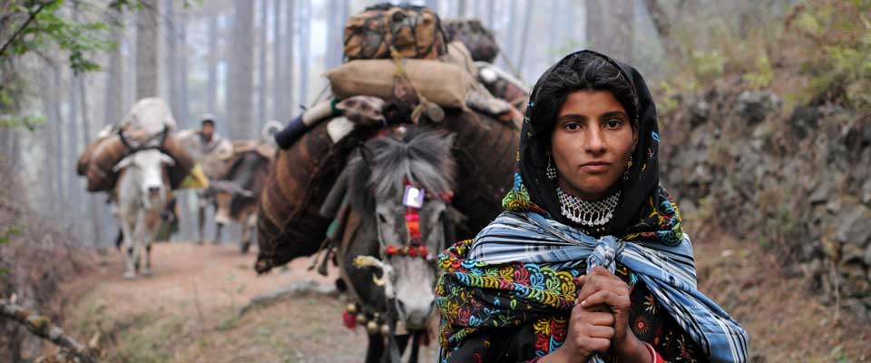
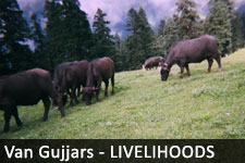
For Van Gujjar families, movement between winter and summer grazing grounds is a carefully maintained livelihood system. Buffalo herds travel along forest tracks, river corridors, village paths, and mountain passes that connect the foothills with higher pastureland. These routes carry far more than animals: they also carry knowledge, memory, family ties, and customary rights.
Seasonal migration mapping can make this knowledge visible without reducing it to lines on a map. A useful map records where families stop, which water sources remain dependable, where herds can graze, and which sections have become difficult because of restricted access, road construction, or changing forest management.
For an organization such as SOPHIA, route documentation supports rights-based advocacy and practical planning. It can help communities communicate with government departments, protect pastoral mobility, strengthen buffalo husbandry, and improve access to services across Uttarakhand, Himachal Pradesh, and Uttar Pradesh.
A living landscape of movement
Van Gujjar migration generally follows a seasonal rhythm. During colder months, families stay in lower forest and foothill areas where temperatures are more suitable for buffalo and fodder is accessible. As spring advances, many groups begin moving toward higher elevations, following established paths and pasture conditions.
The return journey usually begins as weather changes and highland grazing becomes less dependable. The timing is not identical for every household. Herd size, pasture availability, rainfall, health needs, forest permissions, and local agreements all influence when a family leaves and where it pauses.
What a route map should record
A migration map should include more than the starting point and destination. It can show halting places, grazing patches, water sources, veterinary access, milk collection points, schools, health facilities, and sections where families face harassment or delays. Recording these details turns a route into a practical picture of daily life.
Community mapping is especially valuable because many paths are known through experience rather than official records. Elders may identify former grazing grounds, traditional crossings, and seasonal landmarks that do not appear in government documents. Young people can add GPS coordinates, photographs, and updated information while learning from older generations.
Combining local knowledge and field tools
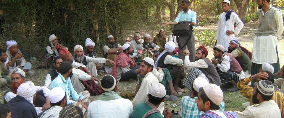
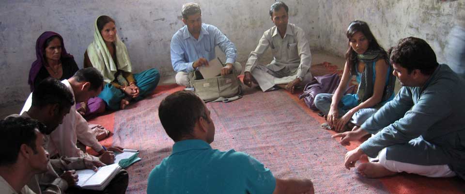
Participatory mapping works best when community members decide what should be recorded and how the information may be used. Meetings, walking interviews, sketch maps, and seasonal calendars can capture the social meaning of a route. A digital map can then support the community record, rather than replacing it.
Field teams may use GPS-enabled phones, satellite imagery, and offline mapping applications to mark tracks and facilities. Yet technology requires careful safeguards. Sensitive information about camps, herd locations, or customary resources should not be shared publicly without consent, particularly where documentation could expose families to eviction or unwanted commercial activity.
Routes reveal pressure and opportunity
The same route can offer pasture, income, and cultural continuity while also exposing families to serious barriers. Comparing different parts of the journey helps identify where targeted action is needed.
| Route feature | Lower forest and foothill areas | Higher summer grazing areas |
|---|---|---|
| Main value | Winter shelter, fodder, and market access | Seasonal pasture and cooler conditions |
| Common concern | Forest restrictions, settlement pressure, and road expansion | Difficult terrain, weak services, and weather risks |
| Essential support | Domicile and forest rights, water access, and milk collection | Safe crossings, veterinary care, and emergency communication |
| Useful evidence | Household histories, grazing records, and land documents | Route logs, pasture observations, and community agreements |
When this evidence is brought together, seasonal mobility becomes visible in policy discussions. Authorities can better understand why a blocked crossing, missing bridge, or disputed forest boundary affects an entire livelihood cycle rather than a single visit.
Mapping rights, services, and livelihoods
A route map can support claims related to forest access and domicile rights by showing long-term use and connections between locations. It may also help identify where official services fail to reach mobile families. For example, vaccination camps, animal health visits, milk marketing arrangements, and identity documentation can be planned around the migration calendar.
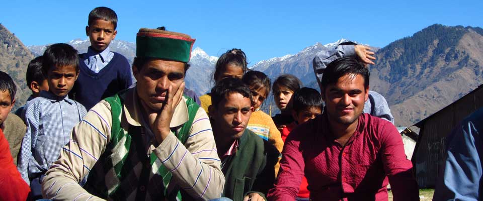
Documentation must remain under community control. SOPHIA’s work with Van Gujjar and Himalayan village communities can connect route evidence with social mobilization, advocacy, and government engagement. Personal experiences are equally important in explaining the consequences of restricted mobility; community testimonials and experiences can give context to the geographic record.
A careful process for community mapping
Effective mapping should begin before migration starts and continue after families return. Repeated visits can reveal how routes change over time, whether water points remain usable, and which pasture areas are under increasing pressure. Comparing records across several seasons creates stronger evidence than a single snapshot.
The process should also include women, young people, elders, and households with different herd sizes. Their experiences may differ significantly. Women often hold detailed knowledge about milk sales, health services, household supplies, and child care during movement, while herders may provide precise information about pasture and animal health.
Practical priorities for route documentation
A community-centered mapping project can focus on a few achievable actions:
- Prepare seasonal route calendars with households before departure and after return.
- Record water points, grazing areas, crossings, health facilities, and milk markets with informed consent.
- Train local youth to collect GPS data, photographs, oral histories, and condition reports.
- Create confidential layers for sensitive camps, resources, and rights-related information.
- Share verified findings with communities, partner organizations, and relevant government offices.
These steps make mapping useful beyond research. They can support emergency planning, improve service delivery, and provide a clear basis for discussions about pastoral access and sustainable land use.
Keep the map in community hands
The strongest migration map is a living community resource, updated as routes, forests, markets, and policies change. Supporting this work helps protect the knowledge that sustains Van Gujjar families and strengthens recognition of their place in Himalayan landscapes.
SOPHIA welcomes responsible engagement with initiatives that advance indigenous rights, sustainable pastoral livelihoods, buffalo husbandry, and community-led advocacy. Learn more about its work and help amplify evidence for secure, dignified seasonal mobility.